Floodplain Development-archived

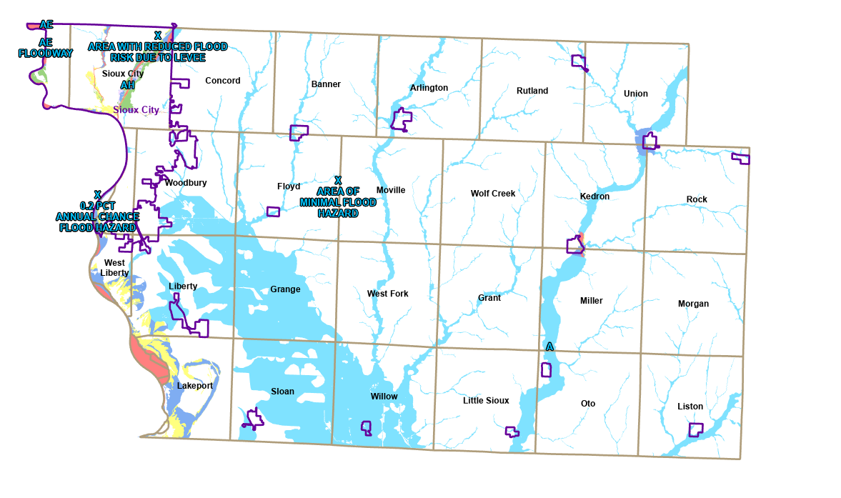 Property Search (FEMA) - FloodplainFloodplain Ordinance
If a project is desired in an area that is located in the Special Flood Hazard Area (SFHA) or floodplain, a floodplain development permit is required. This includes any human-made change to improved and unimproved real estate, including but not limited to buildings or other structures, mining, filling, grading, paving, storage of materials and equipment, excavation or drilling operations as well as the placement of factory-built homes.
The permit process in the floodplain may entail permits from different levels of government including the county, the Iowa Department of Natural Resources (IDNR), and the US Army Corp of Engineers.
The Base Flood Elevation (BFE)
Prior to obtaining a Woodbury County Floodplain Development permit for development in the floodplain, the Base Flood Elevation (BFE) data must be obtained from the IDNR. It is recommended to visit the IDNR's "Permit and Environmental Review Tool (PERMIT)" to "Screen Project and Submit Application" as well as "Request Base Flood Elevation." You may also call the IDNR directly at 515-782-8104.
Once, the appropriate/applicable state and federal permits are obtained as well as the BFE data, you may proceed with completing a "Floodplain Development Permit" and submitting it to Woodbury County along with your site plan.
Please know, with the construction of a structure, it will be imperative to elevate it at least one (1) foot above the BFE. Therefore, it is essential to know the "natural ground elevation" and how it compares with the BFE. For example, if the elevation of the natural ground is 1075 FT and the BFE is 1079, this would require that the structure including basement be elevated to 1080 FT, thereby requiring 5 FT of fill to elevate the structure above the BFE.
Once your project has been completed, you are required to submit an "Elevation Certificate" to Woodbury County to close out the permitting process. The elevation certificate must be certified by a certified professional land surveyor in Iowa.
For more information, more specific to your project, please review the Woodbury County Floodplain Management Ordinance contained in Section 5.02 of the Zoning Ordinance. Please call the Community and Economic Development office to discuss at 712-279-6609.
FLOODPLAIN DEVELOPMENT RESOURCES (external links)
- Floodplain Map Viewer (Property Search)
- Base Flood Elevation (BFE) Request Website (Iowa DNR)
- Letter of Map Amendment Process (FEMA)
- Elevation Certificate Download (FEMA)
FLOODPLAIN DEVELOPMENT
OTHER RESOURCES


 Stay Connected with Our County